
The Short Annapurna Circuit trek map presents a condensed version of Nepal’s classic trekking route, reflecting how the circuit is traversed today. Rather than walking the full traditional loop, this modern itinerary uses road transport to bypass the lower sections that are now largely accessible by vehicle, including Besisahar, Bhulbhule, Bahundanda, Tal, and Dharapani.
On the map, this adjustment shifts the focus directly toward the most dramatic and culturally significant part of the circuit (Manang-Thorong La Pass-Muktinath). With this, you complete the Annapurna Circuit sooner, while significantly reducing the overall distance and number of trekking days.
Where the Short Annapurna Circuit Really Starts and Ends on the Map
The journey officially begins in Kathmandu, with an overland drive to Besisahar by bus. Normally, you would start trekking from here, but on the Short Annapurna Circuit Trek, you will take a shared jeep ride up to Chame. From there, the mapped trail follows the classic high route through Upper Pisang and then to Manang. You’ll spend an additional day in Manang to acclimate safely and support progression to higher elevations.
After Manang, the route continues upward through Ledar, High Camp, and then Thorong La Pass. From the pass, you descend to Muktinath, which marks the end of the trekking section on the map. The journey then transitions back to road travel, with a bus transfer from Muktinath to Pokhara. From Pokhara, you again take a tourist bus back to Kathmandu. In this way, you complete the full circuit in just 10 days by integrating trekking routes with key road segments.
Classic vs Short Annapurna Circuit Trek Map at a Glance
Both the classic 14-day Annapurna Circuit Trek and the short 10-day Annapurna Circuit trek maps highlight the circuit’s most iconic high-altitude sections. In both itineraries, you witness the cultural transition from Buddhist Manang to Hindu-Buddhist Muktinath, cross the challenging 5,416-meter Thorong La Pass, and experience the dramatic shift from alpine landscapes to the arid, high-altitude desert of the Kali Gandaki Valley.
The main difference is in route coverage and duration. The classic 14-day map depicts the full loop through the lower Marsyangdi Valley and the southern descent through Tatopani, Ghorepani, and Poon Hill. In contrast, the short 10-day map bypasses these road-accessible sections with vehicle travel, reducing the total duration while retaining the essential Himalayan experience.
Key Trekking Sections on the Short Annapurna Circuit Map
Our short Annapurna Circuit map highlights 5 main trekking sections, condensing the traditional three-week route into a 10-day journey. You start in the high-elevation village of Chame. From there, the trekking officially begins:
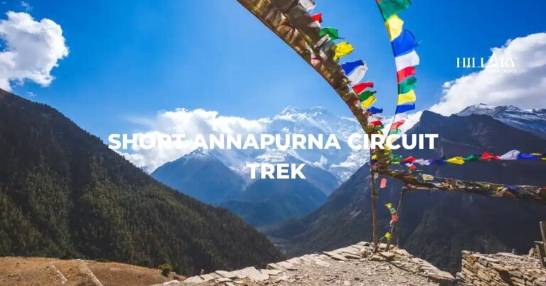
- Chame to Manang (Transition Zone): The trail shifts from lush forests to the dry alpine landscapes of the rain shadow region. Here, you’ll witness the massive Swargadwari rock face and the traditional villages of Upper Pisang and Ghyaru that offer some of the best views of the Annapurna range.
- Acclimatization hike from Manang: Our short ACT includes an additional day in Manang. You can take side trips to Gangapurna Lake, Ice Lake, or Praken Gompa to help your body acclimate to the altitude above 3,540m.
- Manang to Thorong Phedi (The High Ascent): Leaving Manang, the trail climbs through Yak Kharka (4,110m) into a landscape of thin scrub juniper and meadows. This section is important for planning overnight stays at Thorong Phedi or High Camp (4,925m) before the final push to the summit.
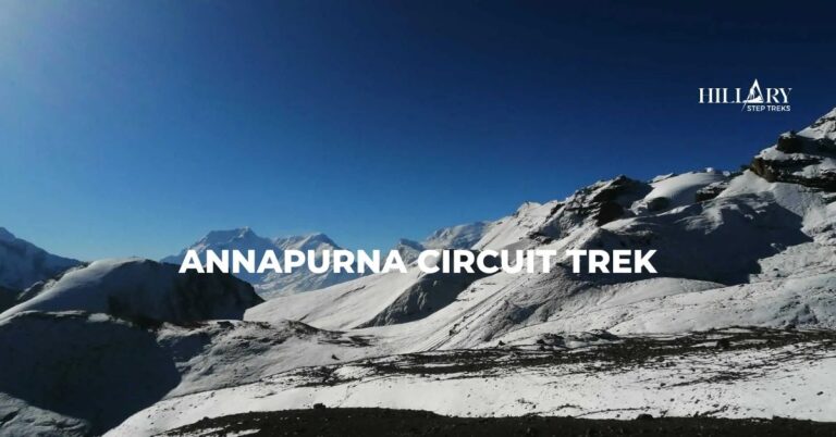
- Thorong La Pass (The Summit): The pass is the highest and most challenging part of the route at 5,416m. The climb up is long and steep, but non-technical. At the top, you get 360-degree views of the Annapurna, Dhaulagiri, and Manaslu ranges.
- Descent to Muktinath: This section is also a steep, knee-jarring descent into the Mustang valley. It ends at the sacred Muktinath Temple, an important pilgrimage site for Hindus and Buddhists.
And if you do the Annapurna Circuit Trek with Tilicho Lake, you also walk through loose scree along Siri Kharka and Tilicho Base Camp. You will also pass through the traditional stone village of Khangsar on your way to the stunning turquoise waters of Tilicho Lake, framed by the massive “Great Barrier” ice wall.
Over Thorong La Pass
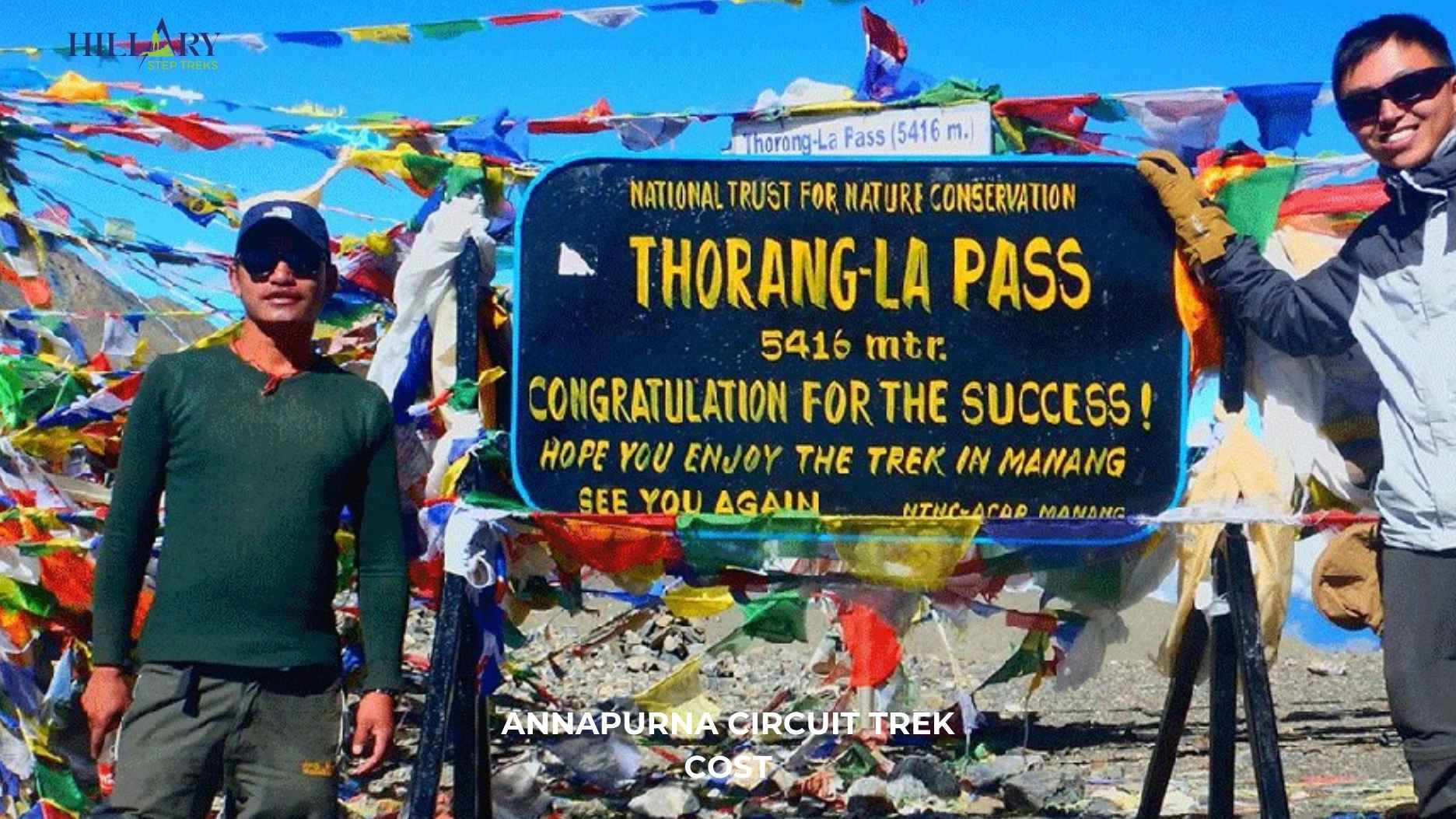
The Thorong La Pass (5,416 m) section is the high-altitude centerpiece of the Annapurna Circuit. It marks the transition from the lush Manang valley into the arid rain shadow of Mustang. You start from High Camp early in the morning, usually between 3:00 AM and 5:00 AM, to avoid the dangerous afternoon winds.

As you climb slowly, you can feel the air thinning as you move through rocky moraines and sub-zero temperatures. Then you reach the summit, where you are rewarded with 360-degree views of the Annapurna and Dhaulagiri ranges. After that, you make a steep 1,600m descent into the arid Mustang valley, which is extremely hard on the knees.
Thus, the pass day can feel intense for many trekkers. The climb is physically demanding and exposed, so you need strong mental focus and must follow turn-back points carefully. If you feel any signs of altitude sickness or the weather turns bad before reaching the pass, descending immediately is the only safe choice.
Annapurna Circuit Elevation Profile
The elevation profile of the Short Annapurna Circuit shows a steady climb from the mid-altitude trailhead at Chame. From here, you climb up to high alpine terrain and the Thorong La pass, then make a sharp descent. The short trek itinerary keeps daily sleep gains to 300-500m above 3,000m, except for days 6 and 7. This makes prior acclimatization in Manang essential and unskippable. After crossing Thorong La Pass (5,416m) on Day 8, the steep 1,040m descent to Muktinath immediately brings rapid relief by returning to oxygen-rich air.
| Day | Route | Sleeping Elevation | Elevation Gain |
|---|---|---|---|
| 01 | Kathmandu → Besisahar | 760m (2,493ft) | Starting point |
| 02 | Besisahar → Chame | 2,710m (8,891ft) | +1,950m |
| 03 | Chame → Upper Pisang | 3,300m (10,827ft) | +590m |
| 04 | Upper Pisang → Manang | 3,540m (11,614ft) | +240m |
| 05 | Manang Rest Day | 3,540m (11,614ft) | Varies |
| 06 | Manang → Ledar | 4,200m (13,780ft) | +660m |
| 07 | Ledar → High Camp | 4,880m (16,010ft) | +600-725m |
| 08 | High Camp → Thorong La → Muktinath | 3,760m (12,336ft) | -1,065-1,165m descent |
| 09 | Muktinath → Pokhara | 820m (2,690ft) | -2,940m |
| 10 | Pokhara → Kathmandu | 760m (2,493ft) | Return |
Terrain and Climate by Map Zone
The Annapurna Circuit passes through four distinct terrain and climate zones. The first is the Low River Valleys and Forested Middle Hills (below 2,500m). It is characterized by lush subtropical forests and terraced paddies. Here, the climate is mostly warm and humid. However, during the monsoon, trails can become muddy, slippery, and infested with leeches.
The next zone is the High Alpine Terrain (2,500-4,000m) around Manang. Here, pine forests and open meadows replace the lowland forests. Nights are cold, often below freezing, and the air is dry. You need to do side trips to “hike high, sleep low” for proper acclimatization, and wear layered clothing to handle significant temperature swings.
Above 4,000 m, you enter the High Desert and Thorong La Region. It is a stark, trans-Himalayan section filled with loose rocks and scree. The air is thin and cold, and each step becomes physically demanding. You must start before dawn on the pass day to avoid strong winds and sudden whiteouts. Here, the temperatures can drop well below freezing, and the exposed terrain offers little shelter. Hence, you need to wear proper clothing and pay strict attention to safety rules for this high-altitude section.
After the pass, the route drops into the Kali Gandaki Valley, a dry, rain-shadow desert resembling the Tibetan plateau. Here, the Mustang Wind picks up after 11:00 AM, making the trails dusty. So, you usually start trekking in the early morning. Wear buffs or sunglasses to protect yourself from the wind and dust in this world’s deepest gorge.

Trek Difficulty and Who the Short Circuit Suits
Even though the total walking distance is reduced, the short Annapurna Circuit remains a moderately strenuous to challenging trek. That said, the final days are challenging, especially on the pass day, when you trek for 10-12 hours in a single day. Unlike on the traditional three-week route, you gain altitude more quickly as you directly start in the high-altitude village of Chame. Your body experiences greater physiological stress on this shorter journey.
Therefore, this route is most suitable for trekkers who are already in good physical condition and have previous hiking experience. If you have limited time but wish to trek the Annapurna circuit, this is it. It also appeals to those who want to achieve a major high-altitude pass without trekking through every section of the longer, lower-elevation foothills. Overall, it offers exceptional high-mountain scenery and the cultural depth of the Manang and Mustang regions in a more condensed format.
Cultural and Village Highlights Along the Route
The Annapurna Circuit trekking map highlights important villages that act as both rest points and cultural sites. These places include Chame (2,710m), Pisang (Upper and Lower, 3,300m), Manang (3,540m), and Muktinath (3,760m). We have marked these villages as overnight stops on our map so you can plan your walking schedule, manage your acclimatization, and spend time learning about local cultures. The elevation details also show how each village belongs to a different cultural zone.
Chame appears at the end of Day 2 in our map. It has natural hot springs, apple orchards, and reflects Gurung traditions with Hindu temples and terraced farms. Here, you can get more services than in smaller villages. Then, Pisang is the next overnight stop on Day 3. You pass Lower Pisang and trek to the upper part. Here, you can visit Pisang Monastery, walk through the narrow stone lanes, and enjoy the view of Annapurna II rising above the village.
From Pisang, you trek to Manang on Day 4. It is the largest settlement and the main acclimatization point. You can take side trails from Manang that lead to Ice Lake (4,600m), Gangapurna Lake, Milarepa Cave, and Braga Monastery. With these hikes, you gain altitude during the day and return to Manang’s safer elevation in the late afternoon. In the evening, you can visit monasteries, talk with Manangi families, drink yak butter tea, and attend altitude briefings at the Himalayan Rescue Association clinic. In this way, Manang offers a rich cultural experience, including Tibetan Buddhist traditions, prayer wheels, chortens, and stone architecture.
After Manang and Thorong La Pass, Muktinath is the next charming village. This point marks the shift from trekking trails to drivable routes and the entry into Thakali culture. Here, you will find both Hindus and Buddhists. Hindus bathe in the 108 brass spouts and holy ponds to achieve moksha (salvation). Meanwhile,Buddhists mostly visit the Jwala Mai Temple to pay respect to an eternal flame that burns atop water. The village also shows Mustang’s dry, windswept landscape, whitewashed houses, apple orchards, and Thakali cuisine.
How a Local Guide Interprets the Short Annapurna Circuit Trek Map
At Hillary Step Treks, we hire a local guide who interprets the Annapurna Circuit map as a living document of real-time mountain conditions. We only see a path on the map, but they identify safety corridors and specific high-risk zones, such as the avalanche-prone slopes between Yak Kharka and Thorong Phedi and the landslide-prone terrain near the Tilicho detour. They prioritize the “Safe Window” for Thorong La, using their deep understanding of local wind patterns to ensure you reach the 5,416m summit well before the dangerous 11:00 AM “wind tunnel” effect begins.
The critical benefits of hiring a local guide are:
- Micro-Navigation: They navigate tricky, shifting trail markers at high altitudes where snow or fog can quickly obscure the path.
- Weather Intelligence: They make proactive decisions based on local sky signs that apps often miss, which is especially vital for the high pass crossing.
- Logistical Ease: They handle all language interactions at remote ACAP checkpoints and manage mandatory permit registrations, so you are never delayed by administrative hurdles.
- Health Monitoring: Most importantly, they constantly monitor your oxygen levels and symptoms to catch early signs of Altitude Sickness before they become life-threatening.
Hence, turn a tough, risky trek into a safe and rewarding cultural and personal experience by letting our guide handle the safety and logistics.
Plan Your Short Annapurna Circuit Trek
Our short Annapurna Circuit trek map gives you a concentrated mix of scenery, culture, and high-mountain challenge in fewer days. It keeps the core highlights of the full circuit while making the journey more accessible for travelers with limited time. This balance of landscapes, cultural villages, and adventure makes it a strong choice for trekkers who want a meaningful Himalayan experience without committing to the longer route.
Explore our curated Short Annapurna Circuit Trek, and plan a trek that fits your timeline and experience level.