
The Annapurna Sanctuary Trek Map offers trekkers a clear visual overview of one of Nepal’s most beautiful treks. It traces the journey from Kathmandu to Pokhara and onward to the Annapurna Base Camp (4,130m). You can clearly see how the trail gradually climbs through Gurung villages until it reaches the ultimate destination, the Annapurna Sanctuary, in the given map of the Annapurna Sanctuary Trek.
The map legend highlights key features: trekking routes, mountains, locations (villages), rivers, passes, and lakes. You can easily identify its driveway or trek day by looking for the bus and trekking icons. It is also designed to help you understand daily altitude gains, trekking hours, and villages in between, ensuring safe pacing. At the final amphitheater-like Annapurna Sanctuary, you can visualize how you’ll be surrounded by 360° Himalayan views, including Annapurna I (8,091m), Machapuchare (6,993m), Hiunchuli, Gangapurna, and more.
You can also view the side trails on the Annapurna Sanctuary Trek, such as Ghandruk village and Dhampus. These villages connect to Mardi Himal or Ghorepani Poon Hill, as well as Australian Camp and Pothana, respectively. You can also see that a rest is possible in the popular Jhinu Danda, a site featuring natural hot springs. With these marks, you can know possible optional extensions or choose a different location to rest instead of retracing.
Route to Annapurna Sanctuary
The Annapurna Sanctuary Trek begins with a scenic drive from Kathmandu to Dhampus. The drive goes through Malekhu and Mugling, where we stop for lunch. From there, we’ll drive to Dhampus, a Gurung village offering the first views of Annapurna South and Machapuchare. Leaving Dhampus, the 2nd day’s trek continues to Landruk, a quiet village above the Modi Khola valley. On the way, you’ll pass by the Pothana village and a hilltop or pass. Nepali people call such a location “Deurali”. Then on the 3rd day, the trail to Chhomrong has steep descending stone steps at first. After you reach the Modi Khola bank and cross it, you’ll again ascend steeply, climbing over 2,500 steps to the village. It serves as the main gateway into the sanctuary, where trekkers can rest and enjoy the surroundings.
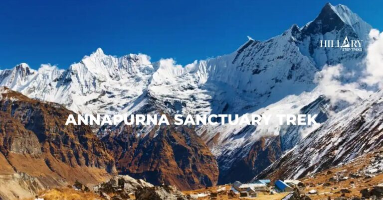
On the 4th day, you’ll descend gently down to the Chhomrong Khola at first. Then, after a short while, it climbs through Sinuwa, Bamboo, and Dovan, eventually reaching Himalaya village. It is surrounded by dense forests and waterfalls, but after here, the path will transition toward higher alpine terrain. The 5th day’s trek passes through Deurali and opens into glacial landscapes before arriving at Machapuchare Base Camp. From here, the route pushes further into the heart of the Annapurna Sanctuary to Annapurna Base Camp at 4,130m. This is the highlight of the trek, where trekkers are surrounded by soaring peaks on all sides. You’ll see a minimum of ten major mountains and peaks of the Annapurna massif and nearby ranges from the base camp.
Annapurna Sanctuary Trek
Annapurna Circuit Trek
You’ll wake up to a beautiful sunrise over the Himalayas in ABC on the 6th day. Then, you’ll start retracing back to Bamboo, where you’ll spend a night. This day will be one of the longest days of the Annapurna Sanctuary trek. Although it’s downhill, the long distance will tire you. The next day, you’ll trek down to Chhomrong. This will be your second night here on this trek. Then, on the 8th day, the path will diverge toward Ghandruk through Jhinu Danda. Ghandruk is a large traditional Gurung village renowned for its stone-paved lanes and rich cultural heritage.
From Ghandruk, the 9th trek day route descends to Syauli Bazar. There, your jeep driver will be waiting for you to drive you back to Pokhara. You can rest and reflect on the special trekking moments or explore the city in the remaining hours. On the 10th day, the journey concludes with a return drive from Pokhara to Kathmandu. This marks the completion of a classic ten-day Annapurna adventure.
Altitude Profile During Annapurna Sanctuary Trek
Acclimatization and Altitude Adjustment on the Annapurna Sanctuary Trek
The Annapurna Sanctuary Trek does not have a specifically designated acclimatization day. Its route itself is designed with a natural and steady ascent profile that allows the body to adjust gradually. The trek begins at relatively low elevations in Dhampus and Landruk, around 1,500–1,600m, where altitude is not a concern. The trail slowly climbs over the next few days through Chhomrong at 2,170m and into Himalaya at 2,920m. This slow climb gives your body enough time to adapt before entering the high-altitude zone.
The most challenging part of the trek is the stretch from the Himalaya to Machapuchare Base Camp (3,700m) and then to Annapurna Base Camp (4,130m). This single day involves a significant altitude gain of more than 1,200m. Even though the standard itinerary pushes directly through this section, the built-in slow progression helps you trek to the ABC safely. However, the threat still remains as you spend one night at Annapurna Base Camp, which is above 4,000m. You can suffer from mild symptoms of altitude sickness, like headache, nausea, fatigue, or difficulty sleeping. You should stay hydrated, walk at a slow pace, and avoid sudden exertion to prevent these issues.
Thus, the trek is designed with a more direct, steady ascent to ABC. You also kind of follow the “climb high, sleep low” strategy, since the trail naturally includes both ascents and descents and hill points in between. In contrast to the Gokyo Ri or Everest Base Camp treks, which require a mandatory acclimatization stop in Namche Bazaar, the Annapurna Sanctuary route’s lower maximum altitude makes it manageable without a rest day.